The format of my design needs to look quite similar as a fold up, with a booklet creation around the map in order to keep it all in place.


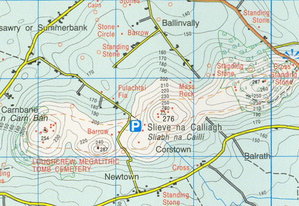


The images I have researched are from google images and summaries different forms of ordnance survey maps. The styles of the maps differ but the information is unique and laid out to clearly identify a route and knowledge of the area.
The style of the front of a survey map seems to very simplistic, often using an image to summaries the place in order to see a visual instead of data and lines.
Front of ordnance sure maps;


The front of the map is detailed and also simple. There always seems to be an image on the front with the title and route of the map inside. The exploration of the map and an icon is also displayed. The colours seem to be bright to attract attention. The maps look very formal and effective
I think taking an approach into the design methods of the above may help to make my map seem relevant and work well to highlight the route as well as consumerism.
No comments:
Post a Comment